"All good things are wild and free." --Henry David Thoreau
Showing posts with label Bay Area. Show all posts

Monday, January 20, 2014

Rancho Corral de Tierra

Old Pedro Mountain Road

Rancho Corral de Tierra is less than half an hour south of San Francisco by car, situated close to the Pacific Ocean, off of Highway 1, and straddles the mountains behind the communities of Montara, Moss Beach, and El Granada. There's 4,000 acres here, criss-crossed by creeks flowing through the chaparral and coastal scrub habitats. In certain spots the view of the western horizon is so expansive, one can see the curve of the earth along the blue Pacific Ocean.


Who says strollers are for kids?
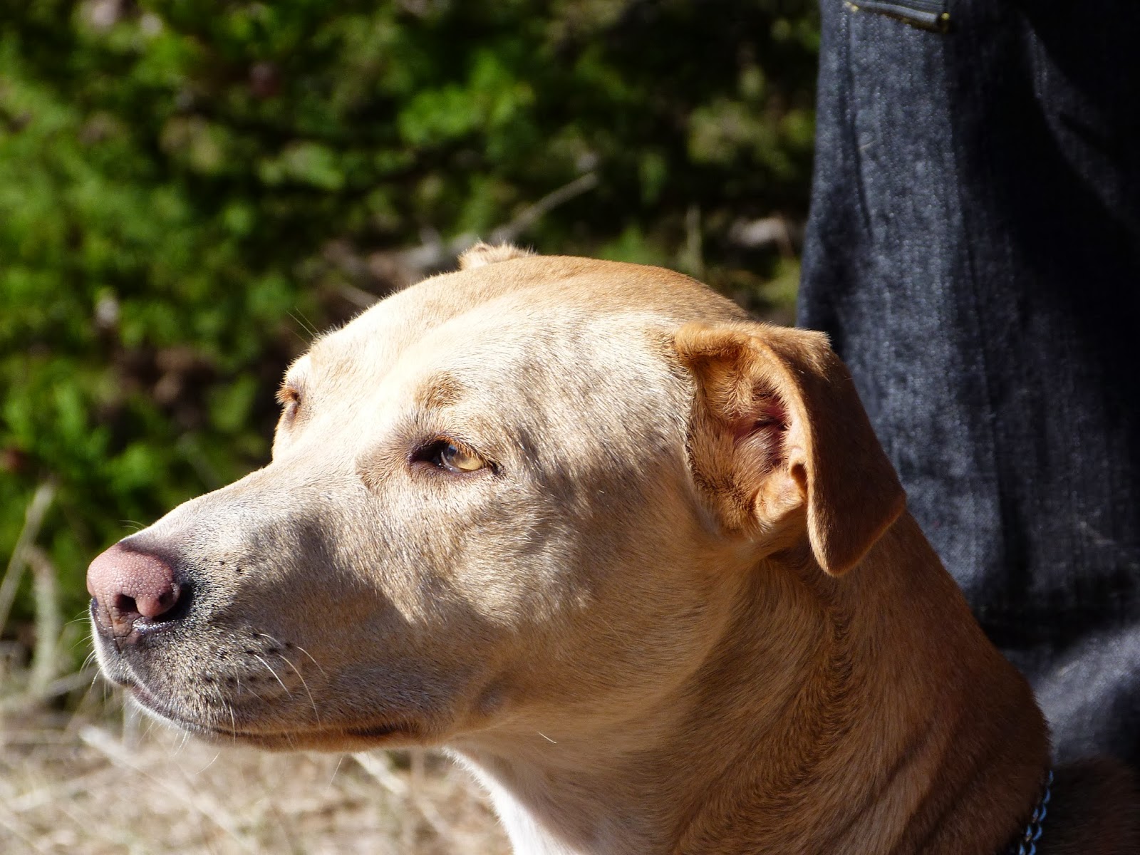
I came here for my first time in January of 2014, brought by a friend and former co-worker, Mike Cadigan.We worked as special education teachers and led the school's hiking club, and recently re-connected at the Hill Babies group hike in December of 2013 on Bayview Hill in San Francisco. Mike has always been the one to ask about hikes on the peninsula. He still leads hikes with ICO, and I think the Sierra Club too. So when we asked if I'd been to Rancho Corral de Tierra, and learned that I hadn't, he suggested a Hill Babies hike here. Though he doesn't have little kids, he brought his seventeen year old pooch, replete with a doggie stroller.

THE HIKE BEGINS
The hike began in the parking lot of Farallone View Elementary School in Montara. Though it was the weekend, the school's playground was open to use, and local kids and parents were having fun. We walked to the end of Le Conte Avenue, passing alpacas standing in a field to our right, and the kids grabbed brooms of pampas grass and shook them high (yes, pampas grass is a terrible, invasive species, and I know better than to let kids strew the seeds everywhere, but they're kids and it's fun).

There were two trails at the end of Le Conte Avenue, and we took the one branching to the right.


The little bridge
We headed northeast on a trail through the dense foliage, ending at intersection of Tamarind and Edison Streets. The trail continued where Tamarind Street ended, over a footbridge and into the woods.

The bulk of our hike was on an old road turned into a trail, still called Pedro Mountain Road. According to this article on Wikipedia, Pedro Mountain Road was first mentioned in 1769 when it was described as "a very bad road"---those these days it's just perfect for strollers and anyone wanting to walk with a little elbow room around fellow hikers.

Pedro Mntn. Road
We followed Pedro Mountain Road down, down, down, traversing chaparral and coastal scrub habitats. The sun shone brightly. We were far from the forest now. We walked over a mile it seemed, gradually downhill. In the back of my mind I was thinking, "Oh boy, this is gonna be a long uphill trek at the end of the day," but I was curious to see where the road would lead, and what the day would be like. Kids ran around, playing and laughing, and babies giggled.


We reached a horse farm that delighted the kids who could watch the geldings and mares stand in the sunshine and swish their tails. I was impressed that the kids didn't mind at all the stench of horse crap as a group of them, my eldest daughter included, stood on the edge of a very large manure bin and admired the horses.

The "Troll Bridge"
We followed Pedro Mountain Road over a bridge that we called the Troll Bridge, a good twenty feet over a deep ditch. I believe, though I'm unsure, that this is where Martini Creek must flow during wetter winters than this one. Though there weren't any sounds of running water, the slope to the creek bed was lush and thick with plant life. Overhead the eucalyptus rustled in the breeze.

Across the Troll Bridge, the trail forked at North Peak Access Road. We went left, and a dozen yards up, connected to the right back onto Pedro Mountain Road. I could see a port-o-pottie in the distance, so conveniently placed.

At this point, over an hour into the walk, still under the hot sun, the kids were dropping like flies. I mean it. For them, this had become the Bantu Death March. Down dropped a family, right into the road. "The kids... Hungry... Tired," they said as they unwrapped sandwiches and popped container lids. Overhead a hawk circled.

"Mike," I said, nudging my old co-worker who was pushing along his happy-go-lucky dog. "Maybe we should stop now for lunch?"

"Just beyond that port-o-pottie is an amazing place," he said, pointing at the road curving out of sight beyond the chaparral. "It's just a quarter mile up. You can make it."

The picnic spot
And I did, and so did several other families. Once we rounded the bend in the road you could see a grassy field and picnic tables, a few Monterey cypress scenically poised, and beyond, the big oceanic blue contending with the paler wash of late afternoon light in a blue California winter sky. It was lovely.

We ate, and then we played. We brought along a parachute for the kids to dance and jump underneath, brining back memories of doing the same in my childhood.

Good hike!
We retraced our route, this time going uphill on Pedro Mountain Road, though the walk seemed shorter. At some particularly whiny point, the tiniest babies were taken out of their strollers and carried on their parents' backs, while the three and four year old set piled into the strollers for a first class ride back up Pedro Mountain Road. Little prince and princesses!

Back at Farallone View Elementary School, the kids wanted to play at the playground, and we adults were happy to oblige. We left a few hairs before sunset. The kids were finally pooped, while us adults actually felt like we got quite a hike. I'd like to return here again, and explore Pedro Mountain Road more, going uphill, as far as it can go, though I might have to hire a babysitter for the kids.


PHOTO ALBUM


THE HIKE BEGINS HERE AT FARALLONE VIEW ELEMENTARY SCHOOL:

Tuesday, January 5, 2010

Sawyer Camp Trail


Just before New Year’s eve, my friend Brett and I, with baby Genevieve in sling, ended up at Sawyer Camp Trail alongside the Crystal Springs Reservoir in San Mateo County. It’s probably one of the easiest hikes as it is simply a meandering paved trail that runs alongside the water, one of the prettiest manmade lakes, made pretty by the simple, ironic fact that humans are not allowed to swim, boat, or bathe in its slate blue Hetch Hetchy waters.
If it weren’t for the cyclone fence topped with barbed wire, I could imagine great things, like being in the wilderness. (I wholeheartedly appreciate the lack of boat pollution, or the big summer bodies covered in coconut oil, flounder-swimming and making a racket, scaring the bejeezus out of fish, fowl, and doe.)

As it was we walked with other joggers and bikers and strollers of babies beside the rusty fence that kept us from the water and the thick forest along the western shores. Deer nibbled grass on both sides of the fence and looked askance at us like the trespassers we were.
            Sawyer Camp Trail is 6 miles long, and apparently was once the main wagon trail connecting San Francisco and Half Moon Bay before cars existed. A fellow named Leander Sawyer used to live along here back in the 1800s, and kept a little place with beds for rent and hot meals for wayfaring strangers heading north or south (he was a man of multiple talents, raising cattle and training circus horses on the side).


            One great aspect to this particular walk is the fact that Brett is in love with mushrooms. He was like a hog on the scent of a wily truffle, scrabbling through rusty barbed wire, jumping forward to grab a chanterelle that sadly turned out to be curled orange peels someone dropped. He knows his stuff, he read his mycological guides by David Arora, he attends fungus festivals, and one of his best friends has taught him much in the ways of mushrooms and the careful picking of them. (In fact, when Brett showed up at my house before the hike he gifted me a big bag of dirt-covered chanterelles that he found in the Oakland hills.)

Brett identified a plethora of milk caps alongside the Sawyer Camp Trail “but they were the poisonous ones,” he tells me. “You can tell this by breaking off a piece and seeing what color latex it exudes. The poisonous ones start by exuding a white latex, but this turns yellow after a few moments. I believe the common name is yellow-staining milk cap. The genus name for milk caps is Lactarius.” Sure enough beads of milk formed on the mushroom where the gills broke in Brett’s hands.
“I think we also saw a member of the Suillus genus (very spongy on the bottom with holes instead of gills),” Brett continues. “Most of them are also really slimy on top. We probably also saw a few russulas, but I don't remember the exact species.”

            It was a fun to walk after a recent rain with a mycological enthusiast; I see fallen leaves and big-eyed deer, the baby sees fuzzy shapes of bicyclists retreating into the distance, and Brett sees the fruits of the mycelium-webbed soil.
Brett, the baby, and I didn’t get too far, maybe a mile and a half out max, what with evening plans and an unavoidable late start to the day. Next time I return to Sawyer Camp I want to make the three miles to the Jepson Laurel, the biggest darn laurel tree in all California, I’m told. It’s a whopping 600 years old; it was a seedling when the Plague continued to ravage Europe. 
And if it’s a rainy, misty day, I just might keep a look out for mushrooms thanks to Brett's mycological teaching.


Driving Directions:
--Take 280 (aka “The World’s Most Beautiful Freeway”) and exit at Bunker Hill
--Go west and turn right at Skyline Boulevard
--Proceed over the Crystal Springs Dam

Victuals: There are no stores here. Pack it in and out.

Bathrooms:  Port-o-potties are located at the start and subsequent points on the trail.

Last Hiked: Late December 2009